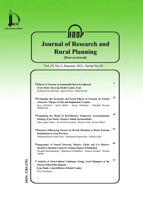
Vulnerability Assessment of Rural Area's Regarding Earthquake Risk (Case Study: The Central District of Marand County)
Author(s):
Abstract:
Purpose
Natural disasters including earthquakes often have devastating effects on human settlements and make heavy losses of material and spiritual on its inhabitants. Inappropriate infrastructures in rural settlements and social inequalities between cities and villages is caused spatial ravages in the settlement network of country and continually have increased their vulnerability against natural disasters. According to country location and village's situation in vulnerable areas of the earthquake, it is necessary to be considered. The purpose of this study is analysis of rural settlements vulnerability in the central district of Marand county.Methodology
This study is an applied research and with descriptive-analytic was performed.The statistical population of this study is 74 villages of Central District of Marand County. The vulnerability indexes were determined and were weighted with the survey of elites by using AHP technique. Then evaluate and ranking the vulnerability of rural settlements in study area, TOPSIS technique was used. Data processing, extraction of some of the indicators and showing results was used of geographic information systems (GIS). Findings
The results showed that there are high and very high vulnerability in more than 30 percent of the study area villages and from physical-spatial dimension, 33.29% of villages and socio-economic dimension, 44% villages have high and very high vulnerability.Research Limitation: Incomplete data about the villages is one of the challenges of the present study.Practical implications: With regard to the vulnerability of the study area is most affected by the vulnerability of physical-space thus this requires a change in the physical- spatial properties for improvement in study area to reduce vulnerability.Original/Value: The present study compared to studies done provides appropriate model for calculating the vulnerability based on the fuzzy approach by using indexes of physical and socio-economic dimensions.Keywords:
Language:
Persian
Published:
Journal of Research and Rural Planning, Volume:4 Issue: 1, 2015
Pages:
97 to 111
magiran.com/p1431601
دانلود و مطالعه متن این مقاله با یکی از روشهای زیر امکان پذیر است:
اشتراک شخصی
با عضویت و پرداخت آنلاین حق اشتراک یکساله به مبلغ 1,390,000ريال میتوانید 70 عنوان مطلب دانلود کنید!
اشتراک سازمانی
به کتابخانه دانشگاه یا محل کار خود پیشنهاد کنید تا اشتراک سازمانی این پایگاه را برای دسترسی نامحدود همه کاربران به متن مطالب تهیه نمایند!
توجه!
- حق عضویت دریافتی صرف حمایت از نشریات عضو و نگهداری، تکمیل و توسعه مگیران میشود.
- پرداخت حق اشتراک و دانلود مقالات اجازه بازنشر آن در سایر رسانههای چاپی و دیجیتال را به کاربر نمیدهد.
In order to view content subscription is required
Personal subscription
Subscribe magiran.com for 70 € euros via PayPal and download 70 articles during a year.
Organization subscription
Please contact us to subscribe your university or library for unlimited access!


